 Quiet Roamers
Diese Seite gibt es noch nicht auf Deutsch; hier ist die englische Fassung.
Ort · Aktualisiert 24. Oktober 2026 · Von Gert Orasmäe und Siim Orasmäe
Jussi lakes and heath
Six clear lakes along an esker, a heath that burned open in the Soviet army's years, an RMK campsite and an 8 km loop trail in Põhja-Kõrvemaa. Where to park, what is at the campsite, and how we came through on the Järvi – Aegviidu hike.
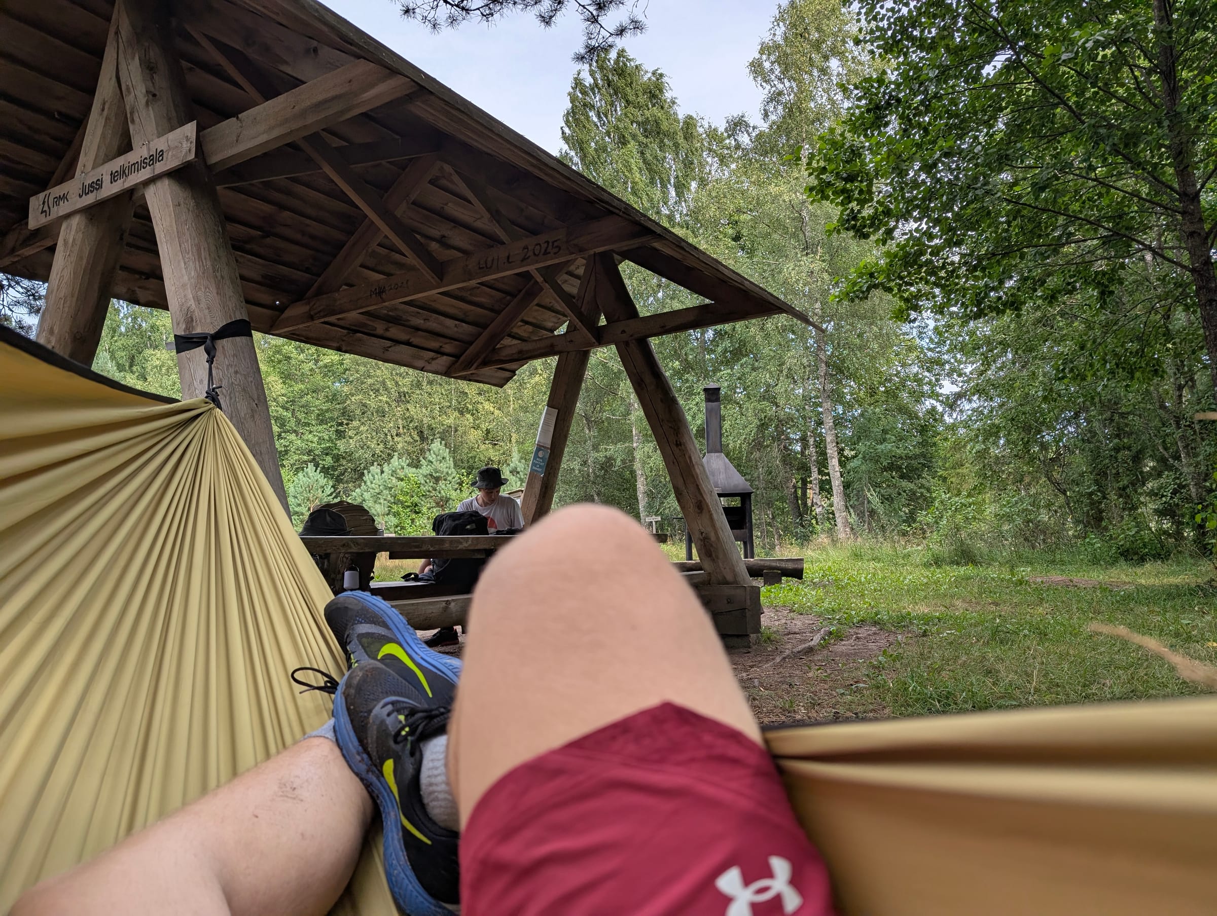
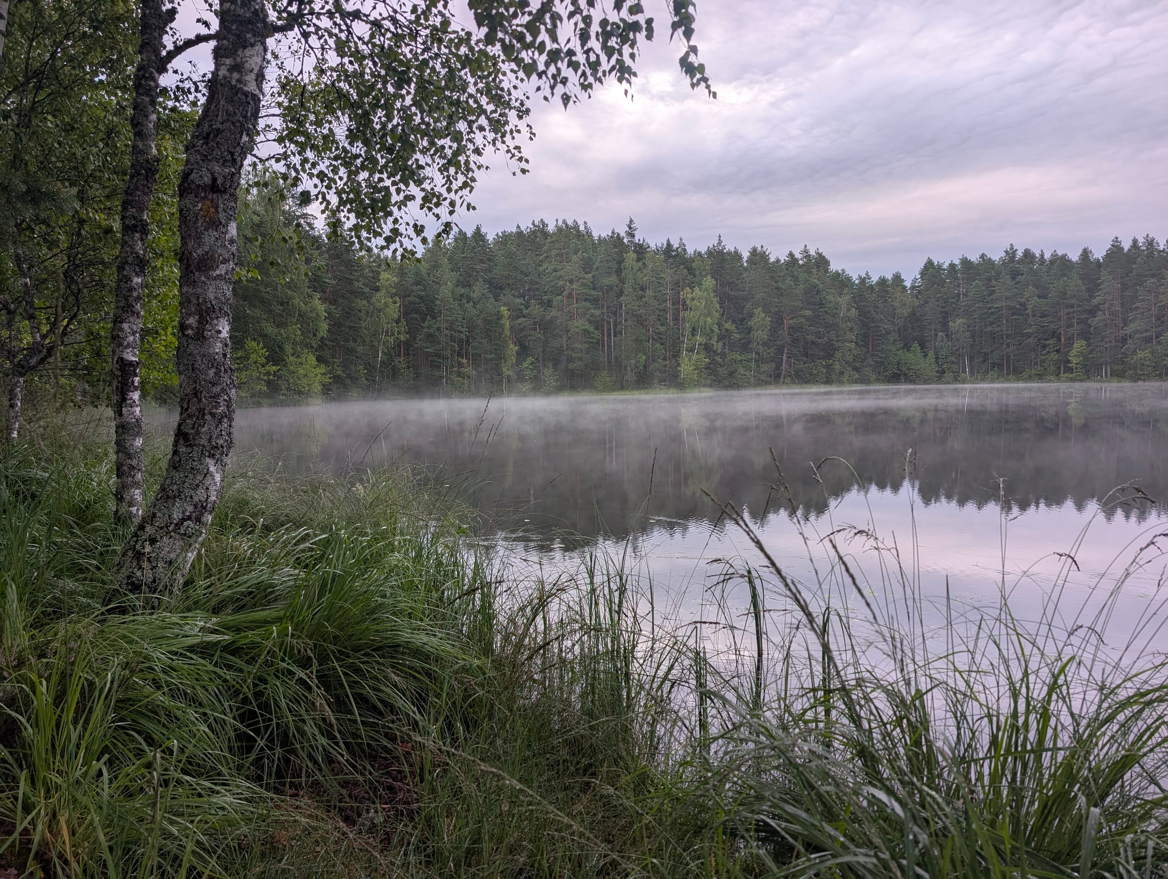
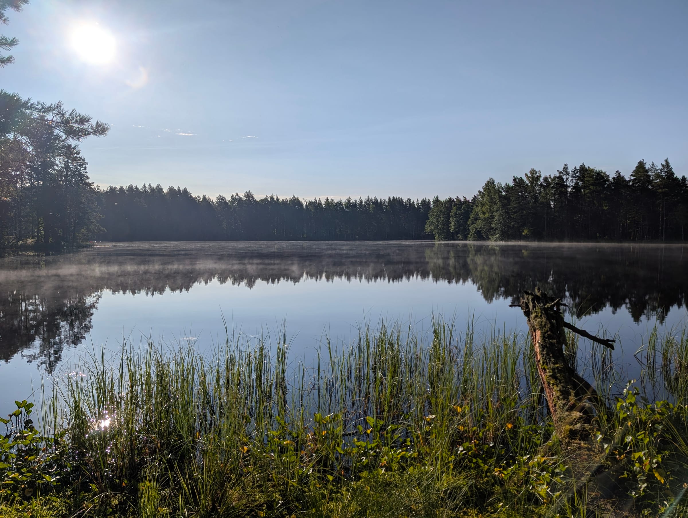
The Jussi lakes are a string of six small, clear lakes in Kuusalu parish, Harju county, inside the Põhja-Kõrvemaa landscape reserve: Kõverjärv, Linajärv, Mustjärv, Pikkjärv, Suurjärv and Väinjärv, about 0.47 km² of water between them. Eskers run between the lakes with pine on top, and south of them lies Jussi heath, which RMK calls a landscape unique in Estonia: open heather that came about through repeated fires in the years the Soviet army used the land. We walked through on 1 August 2026, the first day of the Järvi – Aegviidu hike: a long hammock break by Väinjärv at the campsite, then a night in the hammocks by Linajärv.
The trail
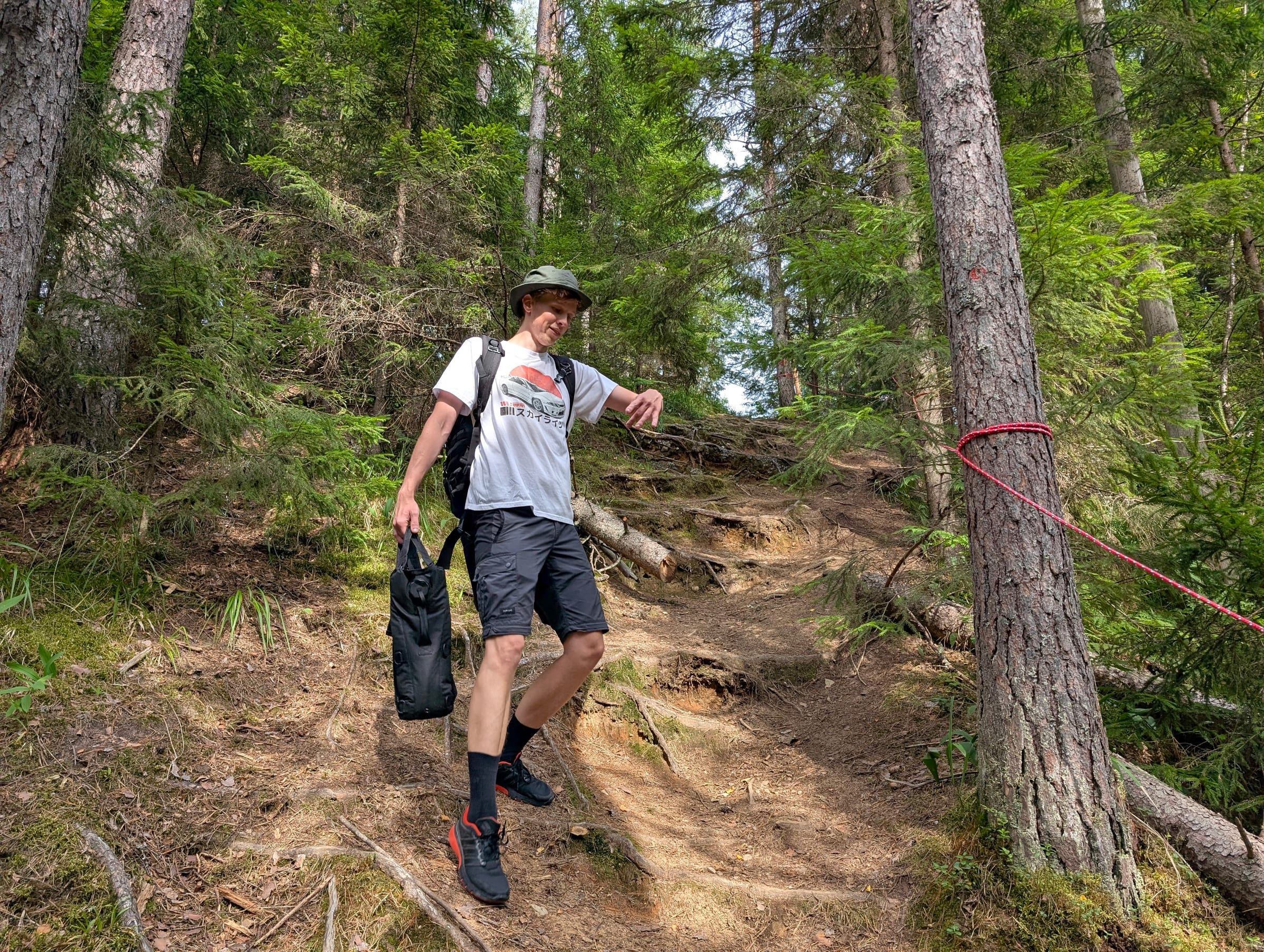
RMK's Jussi nature trail is an 8 km loop marked with yellow paint, starting and ending at Koersilla car park. It climbs and descends the eskers along the lakes, with views over all six, crosses the wet parts on boardwalks and footbridges, and has nine points of interest with boards along the way. RMK's advice is to expect ups and downs and to wear proper footwear; the heath section is open and dry, the lake shores are not. The trail is maintained all year.
The long-distance Järvi – Aegviidu trail, marked with red dots, also passes the campsite: RMK's stops put Jussi 4 km after Paukjärve campsite and 18 km before the end at Aegviidu visitor centre. That is the way we came, from the north.
Getting there and parking
- Koersilla car park, the start of the nature trail: on the Jägala–Käravete road (no. 13) turn left at km 29 onto a gravel forest road, drive 3.9 km to a junction, turn right and drive 2 km to the car park. Room for 20 cars or 4 buses; 59.360448, 25.688783. From here it is 3 km on the nature trail to the campsite.
- Kaksiksilla car park for Paukjärve: from the same road, at km 29, follow the gravel road for 7.2 km, turn right towards "Paukjärve" and drive 2.2 km; 20 cars or 4 buses, then 1 km on foot to Paukjärve campsite and from there 4 km on the red trail to Jussi.
- On foot from the north: start at Järvi Pikkjärve campsite as we did; Jussi is 8 km in.
Jussi campsite
Jussi telkimisala sits by Väinjärv (59.376806, 25.722673). RMK lists two separate fire sites: one with an open fire pit and grill, one with a covered fire pit, each with a covered table and benches, a firewood shelter and a dry toilet, and an information board. Room for up to ten four-person tents; water from Väinjärv, which you treat before drinking. Like every RMK site it is free and unbooked: whoever arrives shares it.
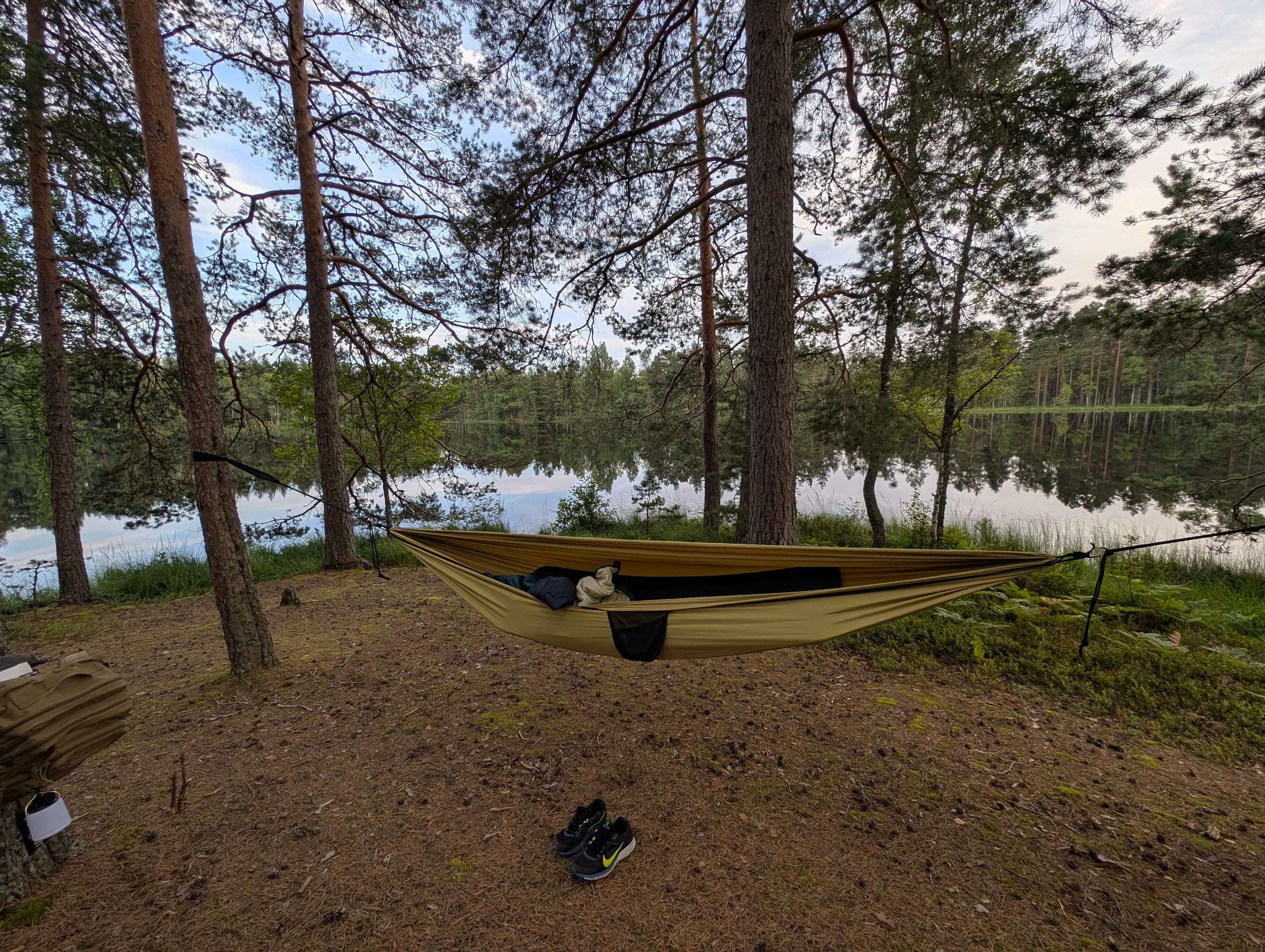
We did not sleep at the campsite itself. We slung the hammocks by Linajärv, a little south, where someone had built a fire ring before us. It is not an RMK site, and in the reserve you should camp and make fire only at the marked ones; if you follow us, stay at Jussi campsite. The sunset through the pines and the mist on the lake at dawn were the same either way.
The military area next door
East of the lakes is the Defence Forces' Central Training Area. Its boundary is marked with white-and-red posts, red flags go up an hour before live firing, and information boards around it show the schedule for up to two weeks ahead. Stay outside the posts, read the boards, and do not be surprised by soldiers on the forest roads; we have met them in this area at dusk.
Rules
Põhja-Kõrvemaa is a protected area: camp and make fire only at the marked RMK sites, and only when fire is allowed (check the fire-risk level at ilmateenistus.ee), keep dogs on a lead at the sites, carry your rubbish out, and stay on the trail across the heath. RMK's general guidelines for moving in nature apply.
Quellen
Die praktischen Angaben auf dieser Seite stammen aus diesen Quellen; prüfe sie vor der Tour, Dinge ändern sich.