 Quiet Roamers
Guide · Updated 24 October 2026 · By Gert Orasmäe and Siim Orasmäe
The Oandu–Ikla trail, section by section
Estonia's 370 km long-distance hiking trail runs from Lahemaa on the north coast to Ikla on the Latvian border. What RMK built, how it is marked, the seven sections, and the parts we have walked and filmed so far, with the campfire sites along them.
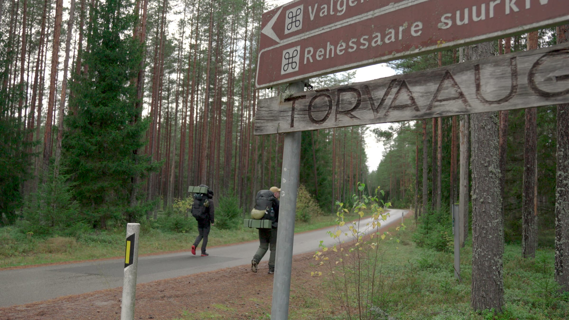
The Oandu–Aegviidu–Ikla hiking trail is Estonia's long one: 370 km from Oandu in Lahemaa National Park on the north coast, south through Kõrvemaa and the bogs of central Estonia, to Ikla on the Latvian border. RMK opened it in 2012 as the country's first hiking route from one end to the other, and it is built from the things RMK already had: campfire sites, campsites and forest huts a day's walk apart, joined by forest roads, trails and boardwalks. We are walking it in pieces and filming them. This page keeps the whole trail in one place; the sections we have done link to their own guides.
How it is marked
White-red-white paint marks on trees, kilometre posts and signposts at the junctions. RMK publishes GPS files in Garmin GPX format, a printed leaflet and a Google Maps layer of the trail and the services near it; all are linked from the trail page. The marks are good; the surprises are the state of the ground after rain and how far the next water is.
The seven sections
| # | Section | km | Our status |
|---|---|---|---|
| 1 | Oandu – Aegviidu/Kalmeoja | 40 | not yet |
| 2 | Kalmeoja – Aegviidu | 38 | the Järvi lakes half walked, August 2026 |
| 3 | Aegviidu – Hirvelaane | 61 | Aegviidu – Napu walked and filmed, October 2026 |
| 4 | Hirvelaane – Kellissaare | 70 | not yet |
| 5 | Kellissaare – Hüpassaare | 28 | not yet |
| 6 | Hüpassaare – Kopra | 56 | not yet |
| 7 | Kopra – Ikla | 74 | not yet |
Lengths are RMK's. Aegviidu, where sections 2 and 3 meet, is the only point on the trail with a railway station: Elron trains from Tallinn take 42–56 minutes, which is why both of our walks start or end there.
Section 2: the Järvi lakes to Aegviidu
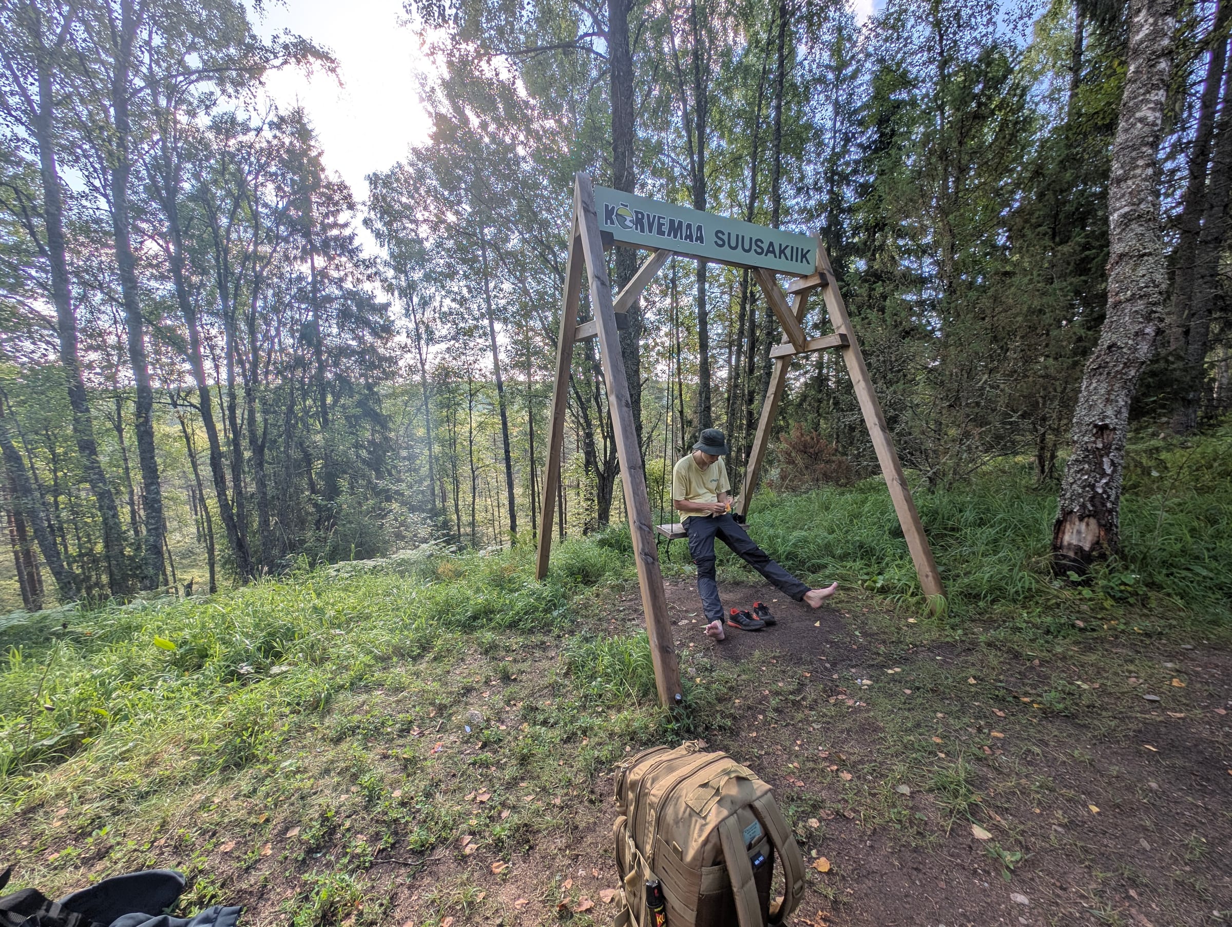
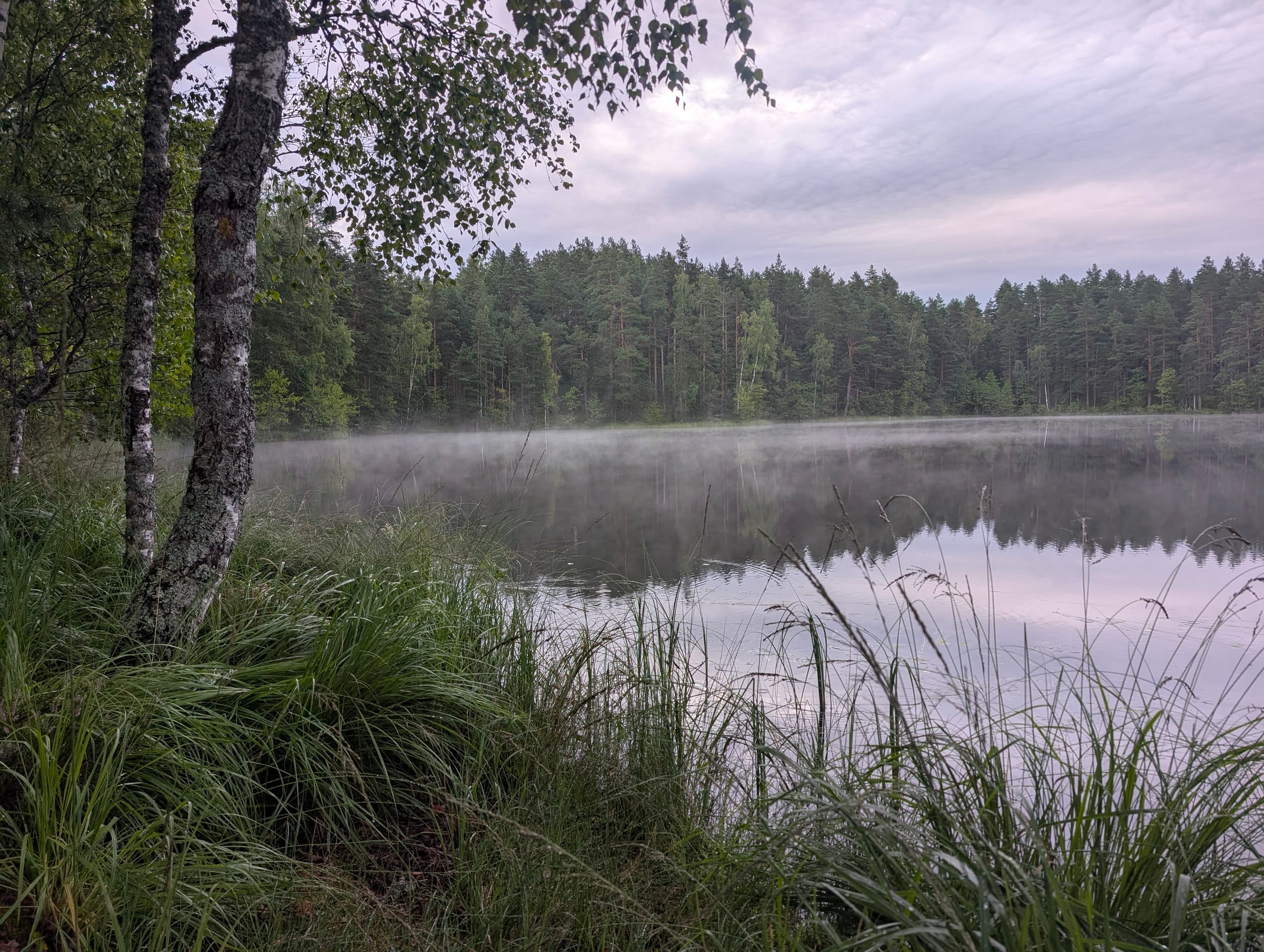
The southern half of section 2 shares its route with RMK's Järvi–Aegviidu trail (27 km, red dots), through the Põhja-Kõrvemaa reserve: a string of clear lakes with campsites on their shores, Jussi heath, then forest road into Aegviidu. We walked it over two days in August 2026 and slept in hammocks by the Jussi lakes. There is no film from this one, only the route and the photos: the Järvi – Aegviidu hike, with the campsites in the Jussi guide.
Section 3: Aegviidu to Hirvelaane
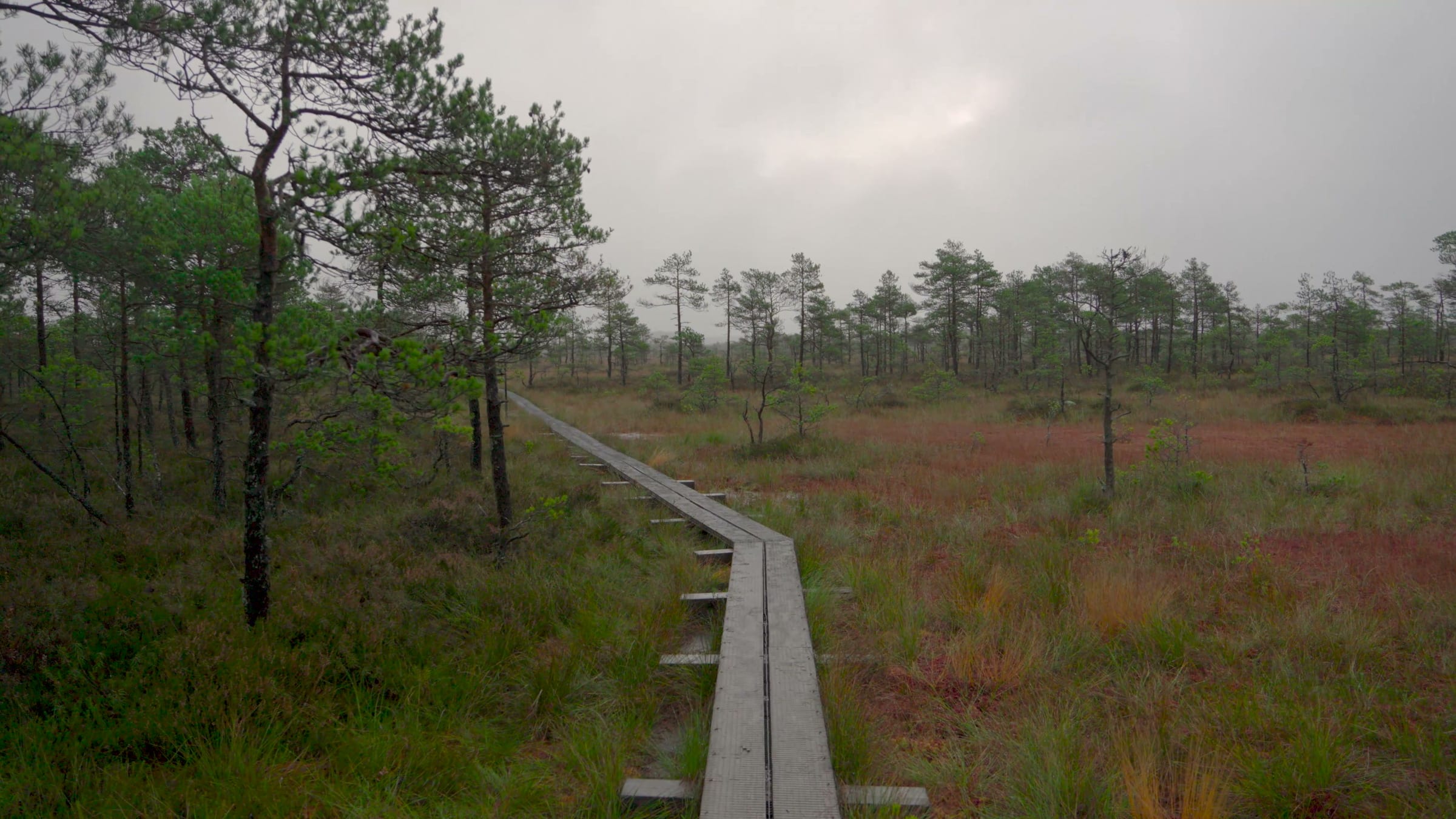
RMK's stops on the section, with its distances: Aegviidu visitor centre → Nikerjärve campsite 2 km → Mägede campfire sites 7 km → Noku campfire site 10 km → Napu campfire site 8 km (on a branch of the trail) → Hiieveski campsite 12 km → Hirvelaane campfire site 29 km. Tap water at the visitor centre; after that the lakes and rivers. The section's set piece is the boardwalk over Kakerdaja bog, which RMK counts among Estonia's longest at over three and a half kilometres.
We walked the first 27 km, from the station to Napu, on 9–10 October 2026, with a night in a lean-to at Noku and the bog in fog the next morning. That walk is the film and the Aegviidu – Napu guide; the bog has its own Kakerdaja guide, and the campfire sites are in RMK campfire sites we have slept at.
What is next
Napu to Hiieveski and on to Hirvelaane completes section 3; from there the trail turns into the big bogs of central Estonia. Each piece we walk gets the same treatment: a silent film, a guide page with the route and the sites, and the Estonian version. The sections above turn into links as they happen.
Before you go
- RMK's guidelines: fire only in the fire pits and only when fire is allowed, quiet hours 23:00–6:00, rubbish carried out.
- Carry a tent even on sections with lean-tos; the sites are free and shared, and the shelters go to whoever arrives first.
- Water is from lakes and rivers between the few taps. We filter it.
- Download RMK's GPX for the section and the Aegviidu visitor centre opening hours if you plan to start there.
The trips behind this guide
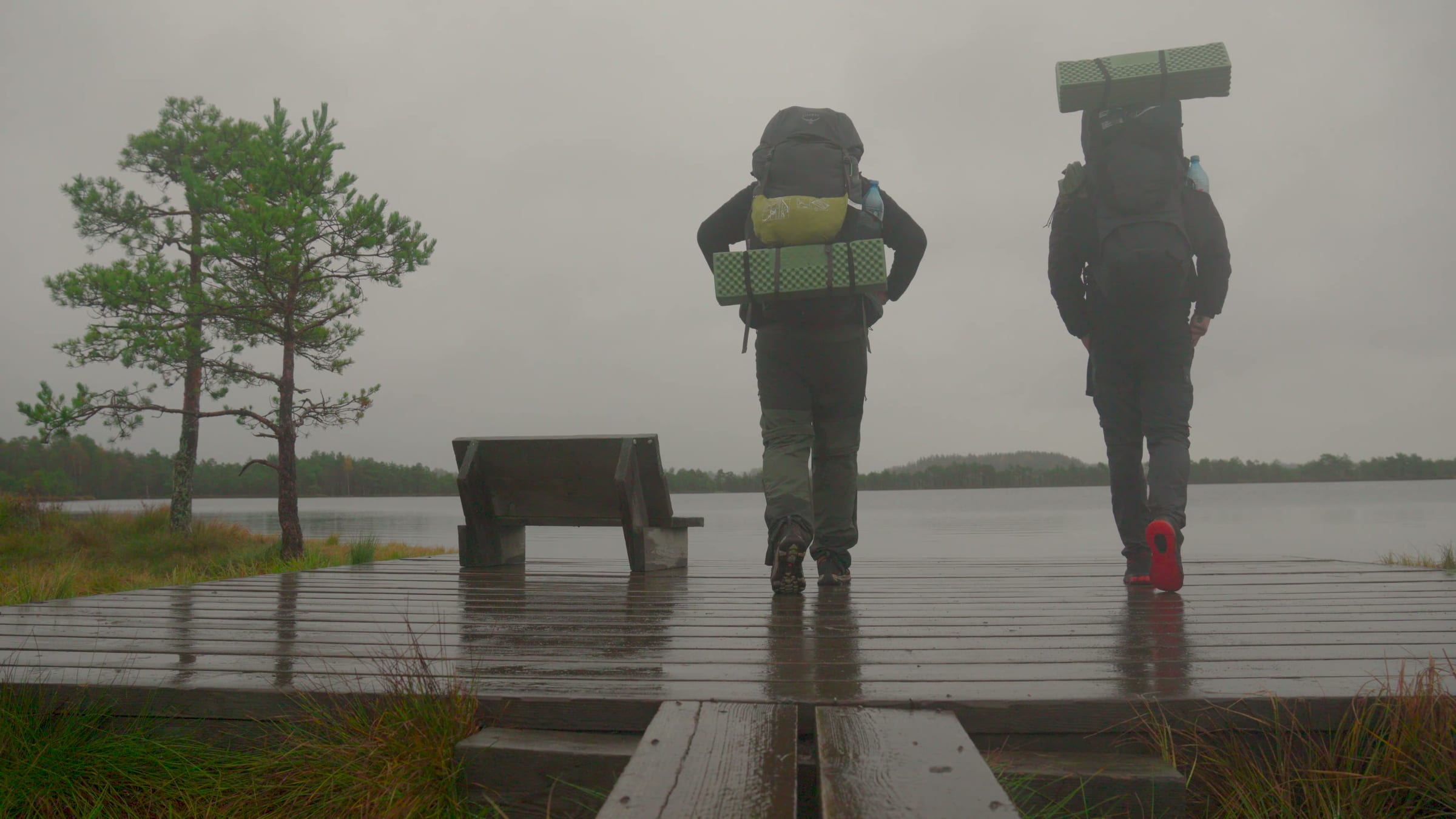 ▶ film
Hike · Kõrvemaa · 9–10 October 2026 · 2 days · 24.3 km
Aegviidu – Napu
27 km in two days on the RMK Oandu–Ikla trail through Kõrvemaa: pine forests in the rain, a night at Noku shelter, and Kakerdaja bog in thick morning fog.
Hike · Kõrvemaa · 1–2 August 2026 · 2 days · 15.7 km
Järvi – Aegviidu
Two days on the RMK trail through Kõrvemaa's lakes and pine forests, finishing at Aegviidu station.
Places in this guide
Place
Kakerdaja bog
A raised bog in Kõrvemaa with a boardwalk across it, a lake in the middle and two RMK campfire sites at the edge. How to walk it, where to park, and what it looks like in October fog.
Region
Kõrvemaa
Pine forest on sandy eskers, raised bogs and clear lakes, under an hour from Tallinn by train. The trails, the campfire sites, and the hikes and camps we have done here.
Place
Jussi lakes and heath
Six clear lakes along an esker, a heath that burned open in the Soviet army's years, an RMK campsite and an 8 km loop trail in Põhja-Kõrvemaa. Where to park, what is at the campsite, and how we came through on the Järvi – Aegviidu hike.
Sources
Practical details on this page come from these sources; check them before you go, things change.