 Quiet Roamers
Hike · Kõrvemaa · 9–10 October 2026 · 2 days · 27 km
Aegviidu – Napu
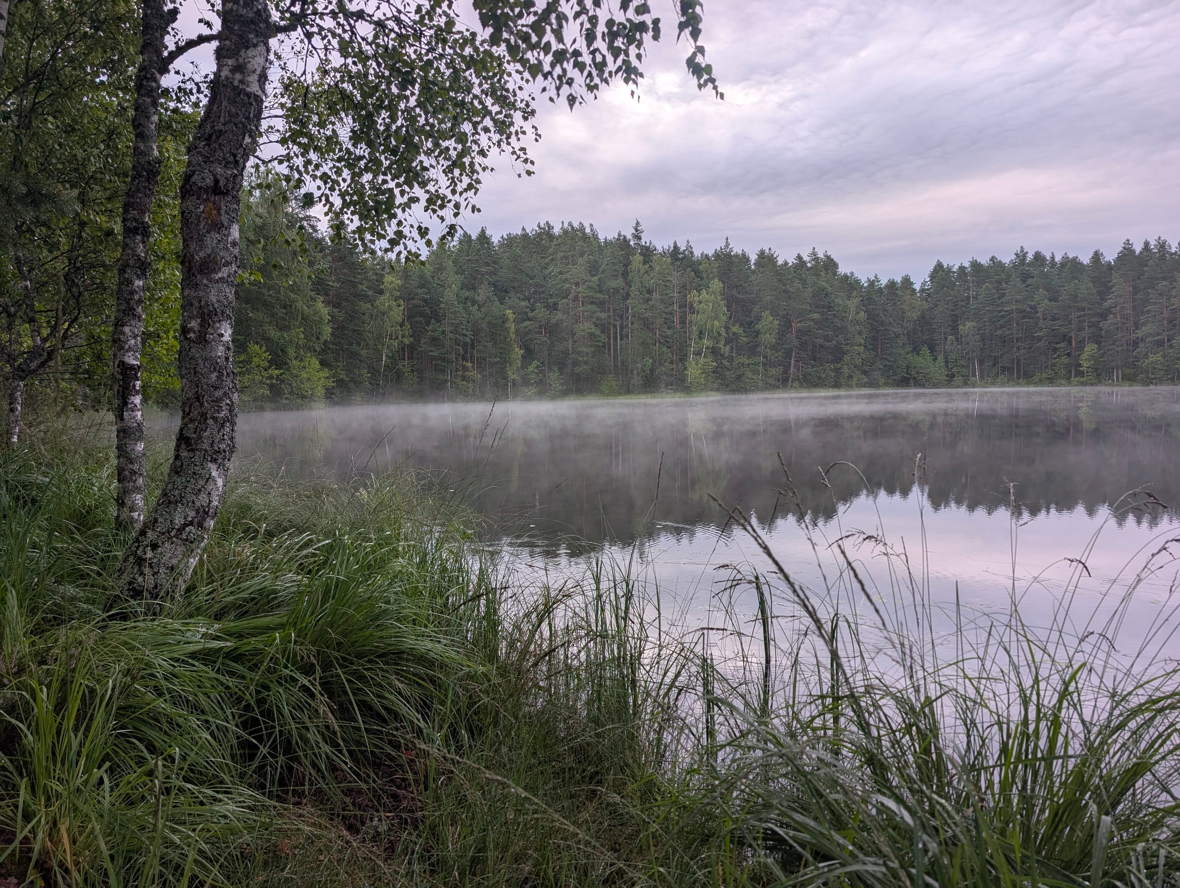
27 km in two days on the RMK Oandu–Ikla trail through Kõrvemaa: pine forests in the rain, a night at Noku shelter, and Kakerdaja bog in thick morning fog.
The route
25 photos pinned on the map
Photos
Trail guide
Two days on the Oandu–Ikla hiking trail, 27 km from Aegviidu station to Napu, on 9–10 October 2026. We took the morning train out of Tallinn, walked south through rain-soaked pine forest and forest roads, cooked lunch at an RMK campfire site, caught a rainbow over the fields in the evening, slept in the shelter at Noku campfire site and crossed Kakerdaja bog in fog the next morning. The film is the whole thing with no talking and no music.
Getting there
Aegviidu is on the eastbound railway out of Tallinn, 42–56 minutes by Elron train depending on the service (timetable from 28 September 2026). The trail leaves straight from the station: RMK counts this section of the Oandu–Aegviidu–Ikla trail from the Aegviidu visitor centre, about 100 m from the platform, and the white-red-white waymarks lead south. Check times and tickets on elron.ee; weekend morning trains fill up in autumn. More on the area in our Kõrvemaa guide.
The route, section by section
| Section | km | Ground | Notes |
|---|---|---|---|
| Aegviidu station → first shelter | 0–5 | gravel forest road, then trail | Flat, easy, the longest stretch of road walking. The first RMK shelter is a good place to shed a layer. |
| Forest trail through the pines | 5–9 | trail, some boardwalk | Autumn colours, quiet. We stopped for a snack under the pines at around 3 km in. |
| Mägede campfire sites and lunch | ~9 | RMK campfire site | Covered and open fire pits, roofed tables, firewood shelter, dry toilets; water from the old quarry lake (RMK). We cooked lunch on the stove here. |
| Afternoon: fields, streams, the log bridge | 9–18 | trail, log bridge over a stream | The bridge at 9:36 in the film is the only crossing; it is slippery when wet. The rainbow came after the fields. |
| Noku campfire site | 18 | lean-to shelters at the edge of Kakerdaja bog | Where we spent the night. Three open lean-to shelters, covered fire pits, a firewood shelter and dry toilets. |
| Kakerdaja bog | 19–22 | boardwalk, over 3.5 km | The bog crossing is the highlight. In fog you see nothing but the boards and the nearest pines. The boardwalk is slippery in rain and frost. |
| Bog to Napu | 22–27 | trail, forest road | Mostly forest road down to Napu, where a car can meet you. |
Distances are measured along the published trail on our map. RMK counts the whole section from the Aegviidu visitor centre to Napu campfire site as 27 km, with Noku at 19 km (RMK). The GPS track will replace these numbers when it is added.
The night at Noku
Noku campfire site sits at the edge of Kakerdaja bog, where the boardwalk starts, named after the old Nokko farm. RMK has three open lean-to shelters there, two fire sites and room for about ten tents. We slept in one of the lean-tos. The lake in the dusk shot at 10:31 is Kalajärv, at Kalajärve campfire site just before Noku, which is a good fallback if Noku is full.
It was 4 °C, wet, and quiet except for the rain on the roof. We cooked on the stove, dried boots by the fire and were asleep by nine.
Kakerdaja bog in the morning
We left the shelter at first light and walked onto the boardwalk in fog so thick the lake at the far end only appeared at the last bench. The boardwalk is narrow, in places a single plank wide, and was slick with overnight rain. It is the reason to do this hike in autumn. Our Kakerdaja bog guide has the trail, the parking and the shorter loop if you only want the bog.
Gear
Sony a6700 with the Tamron 17-70 mm f/2.8 for everything static, a GoPro HERO11 Black for the walking shots, one tripod between us. Packs of 18–20 kg each with the tent, mats and two days of food. Boots, not trail runners, for the bog. Everything we carried is on our gear page.
Getting back
Napu is a hamlet off the trail with no public transport; RMK's section ends at Napu campfire site. We had a car waiting. Without one, walk on to Ardu, about 14 km by road west of Napu: a village on the Tallinn–Tartu highway with buses to Tallinn (check times on peatus.ee). Or carry on south along the trail to the next section.
The film
The full 17-minute film is at the top of this page and on YouTube. The chapters follow the sections above. The section before this one, north of Aegviidu through the Järvi lakes, is in our Järvi – Aegviidu guide.
What we carried
All our gear →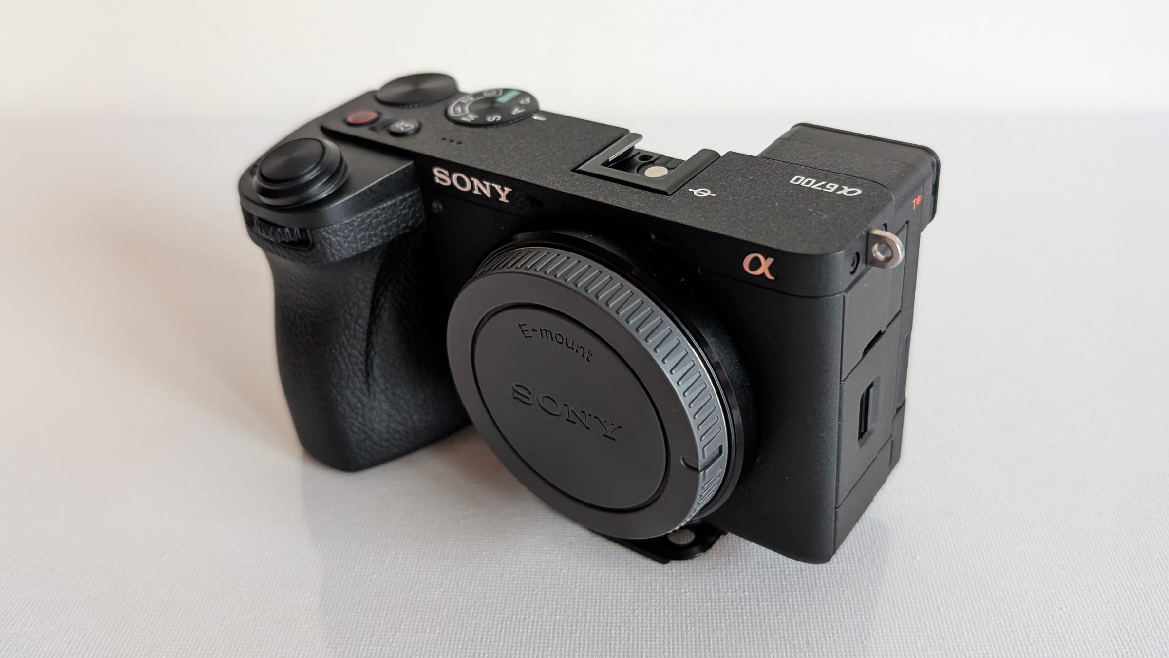
Sony Alpha 6700
Our main camera: every static shot in the Aegviidu – Napu film, recorded in S-Log3 and graded afterwards.
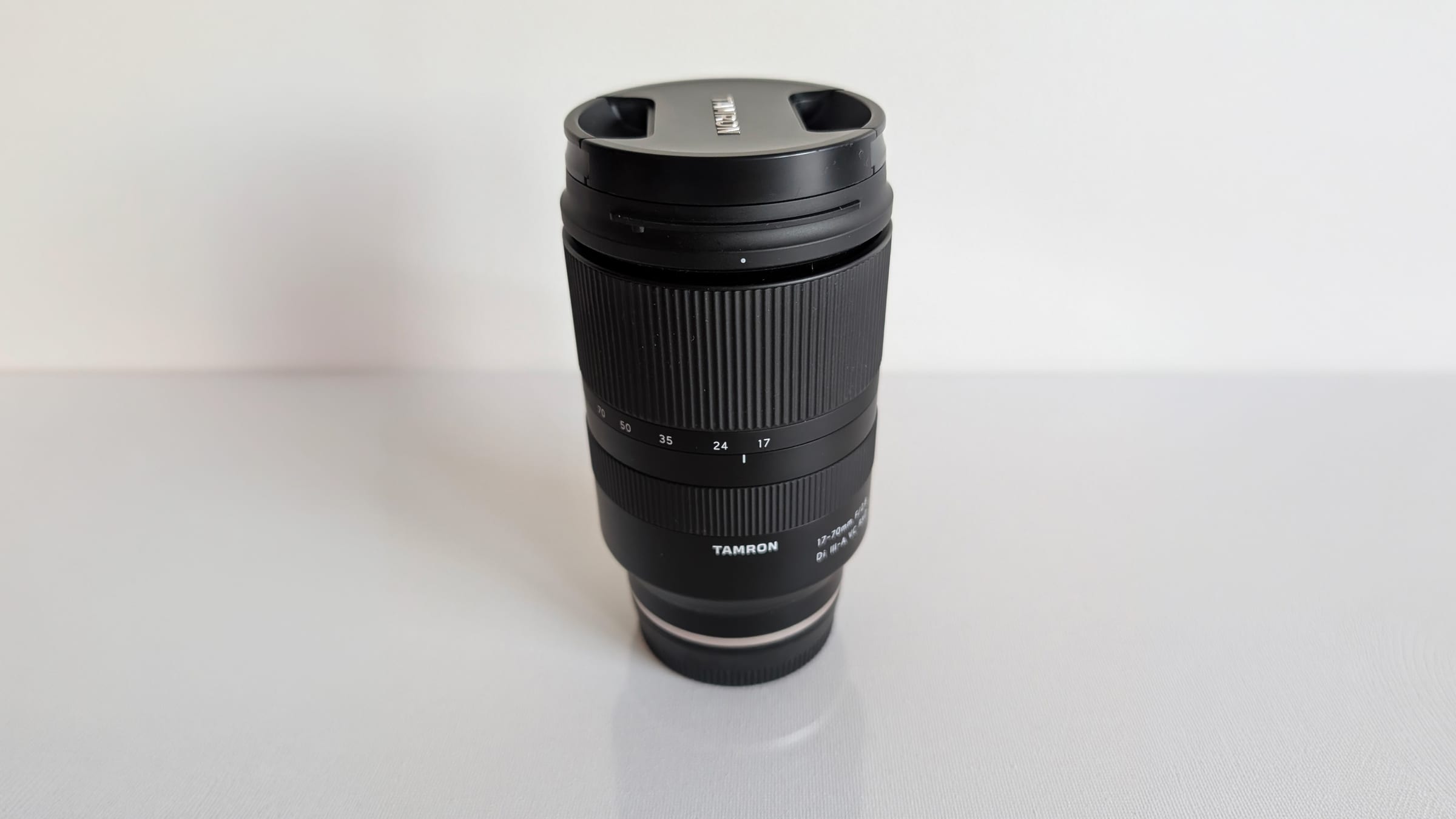
Tamron 17-70 mm f/2.8 Di III-A VC RXD (Sony E)
The one lens we use on the a6700, for everything from the forest to the bog.
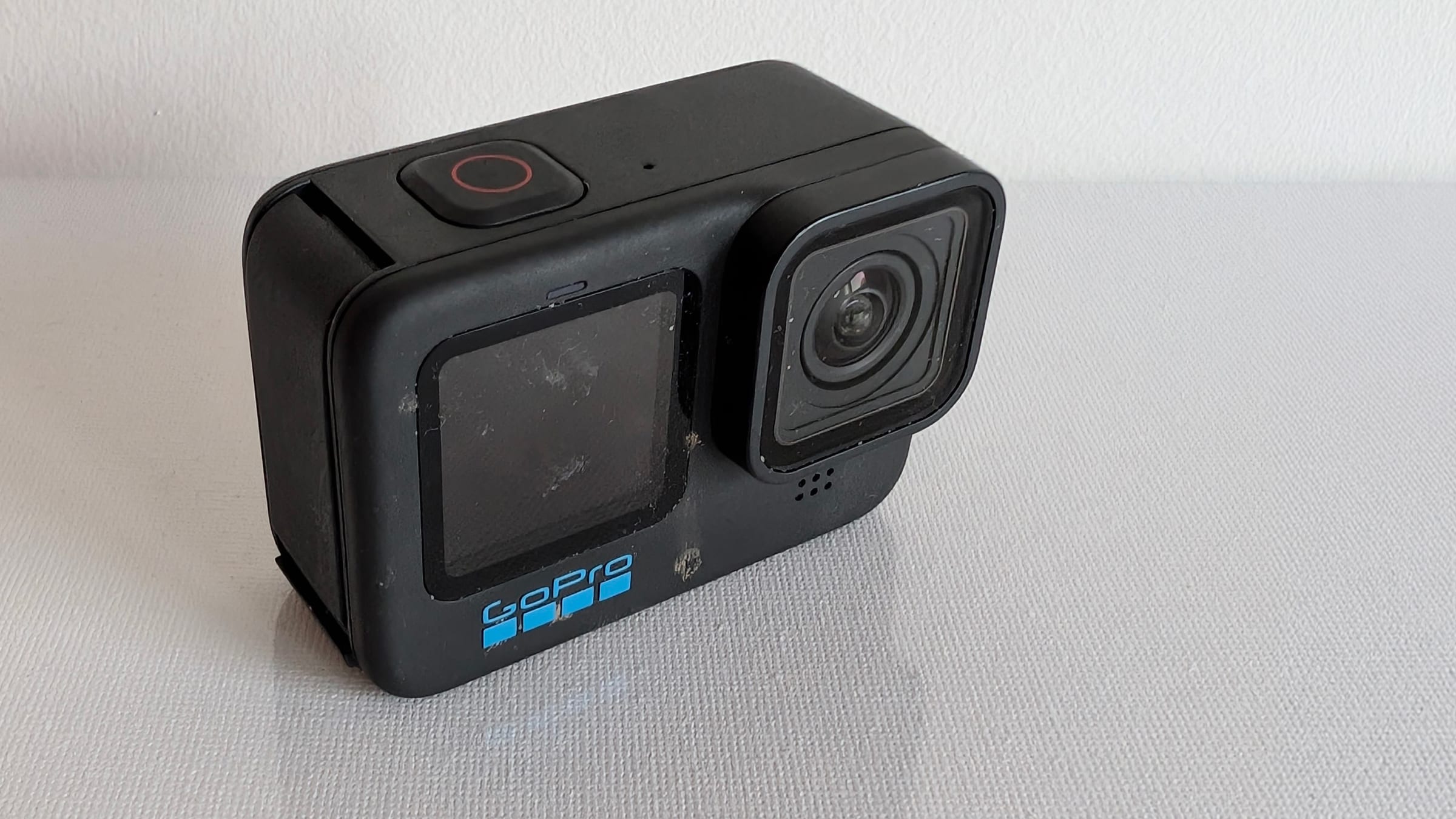
GoPro HERO11 Black
For the walking shots, where a bigger camera would get in the way.
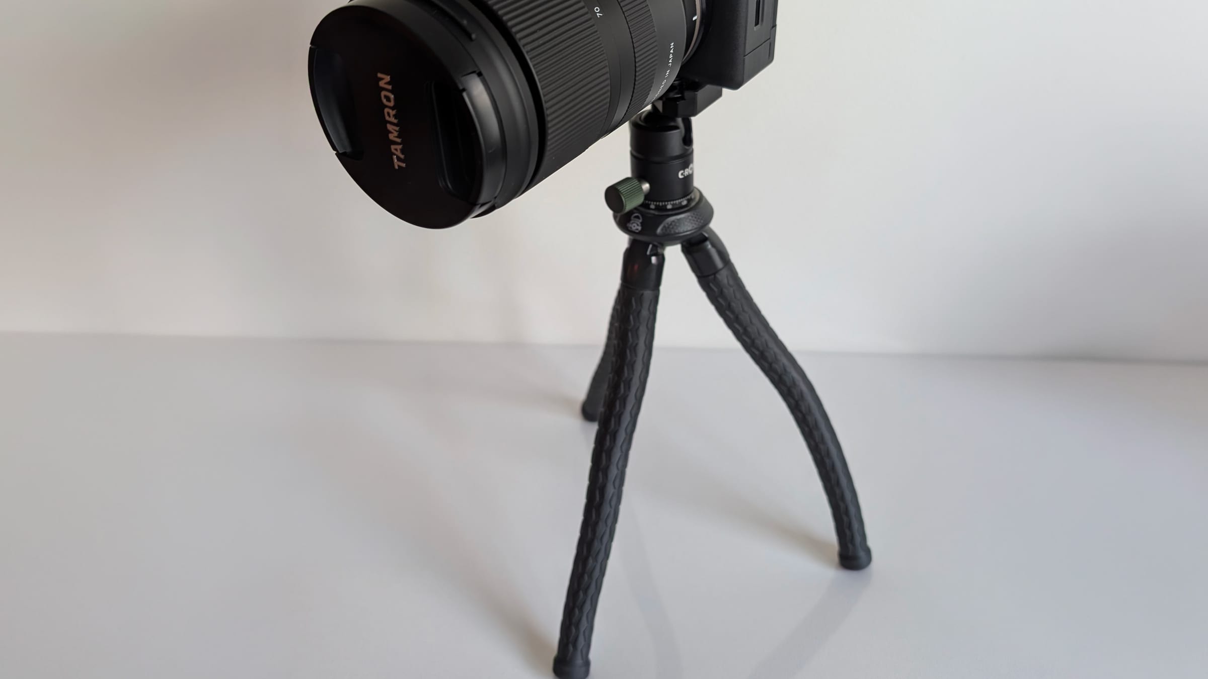
C-Rope Creatorpod tripod
One tripod between the two of us; it carried the a6700 for every static shot. The ball head takes the Peak Design plate, so the camera goes from the pack strap to the tripod without changing plates.
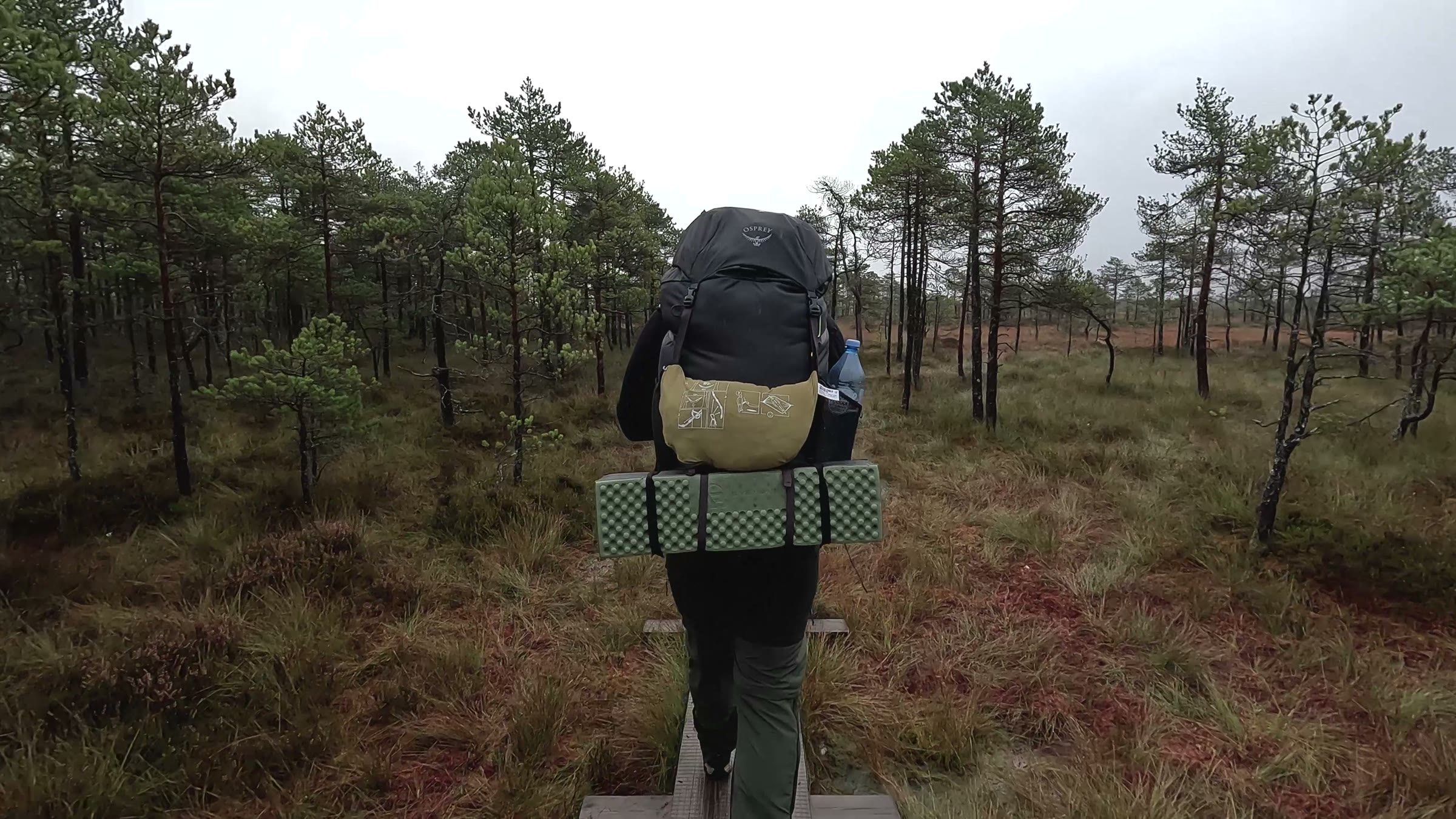
Osprey Rook 65
One of our two packs, 18–20 kg with the tent and two days of food on Aegviidu – Napu; the wider one, with a breathable mesh back.
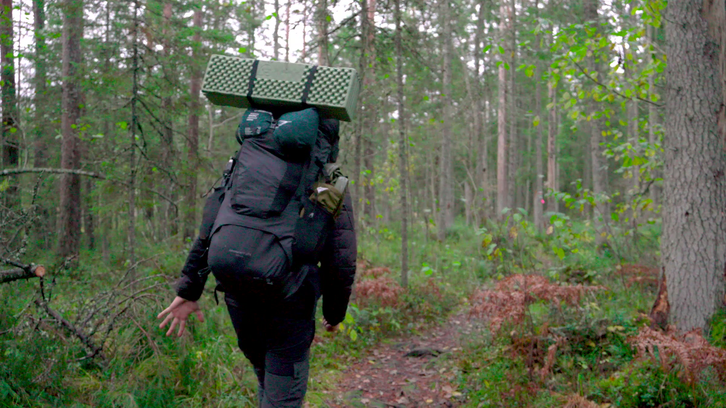
deuter Aircontact Lite 50 + 10
The other pack on Aegviidu – Napu, about the same load; softer back pads and hip belt, and a big stretch pocket on the front.
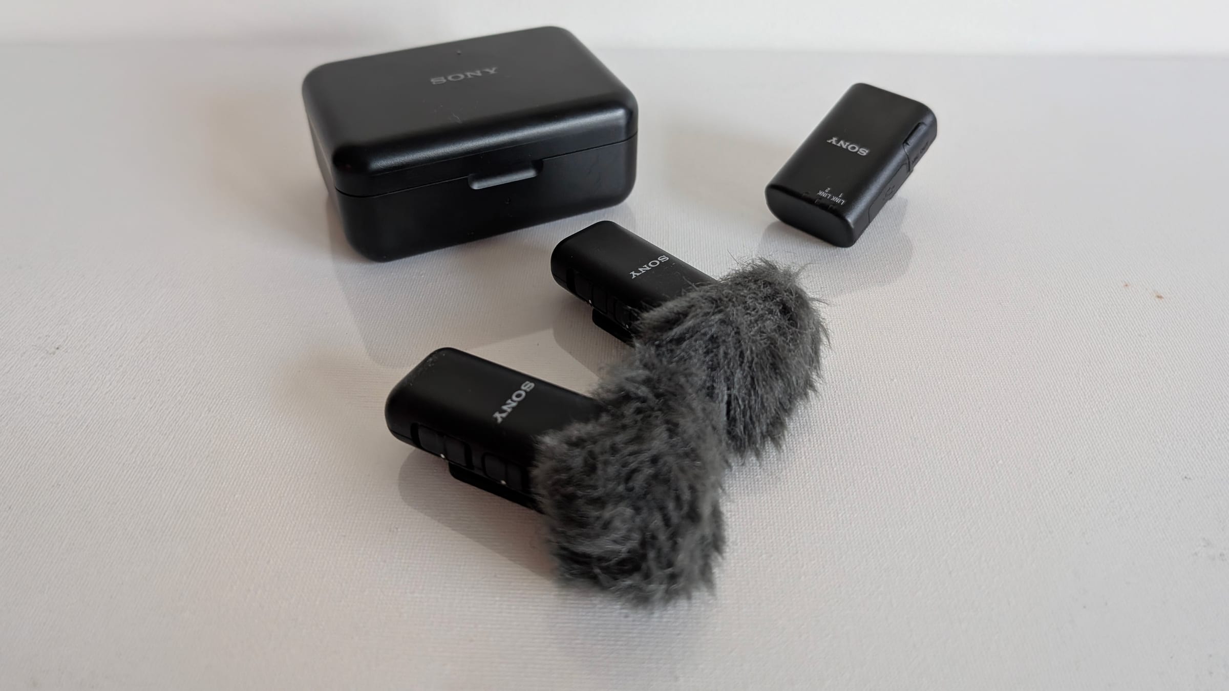
Sony ECM-W3
Sony's wireless set: two clip-on transmitters and a receiver that sits in the a6700's shoe with no cable. We clip a transmitter near the subject when the camera is far away, so the sound stays close even when the shot is wide.
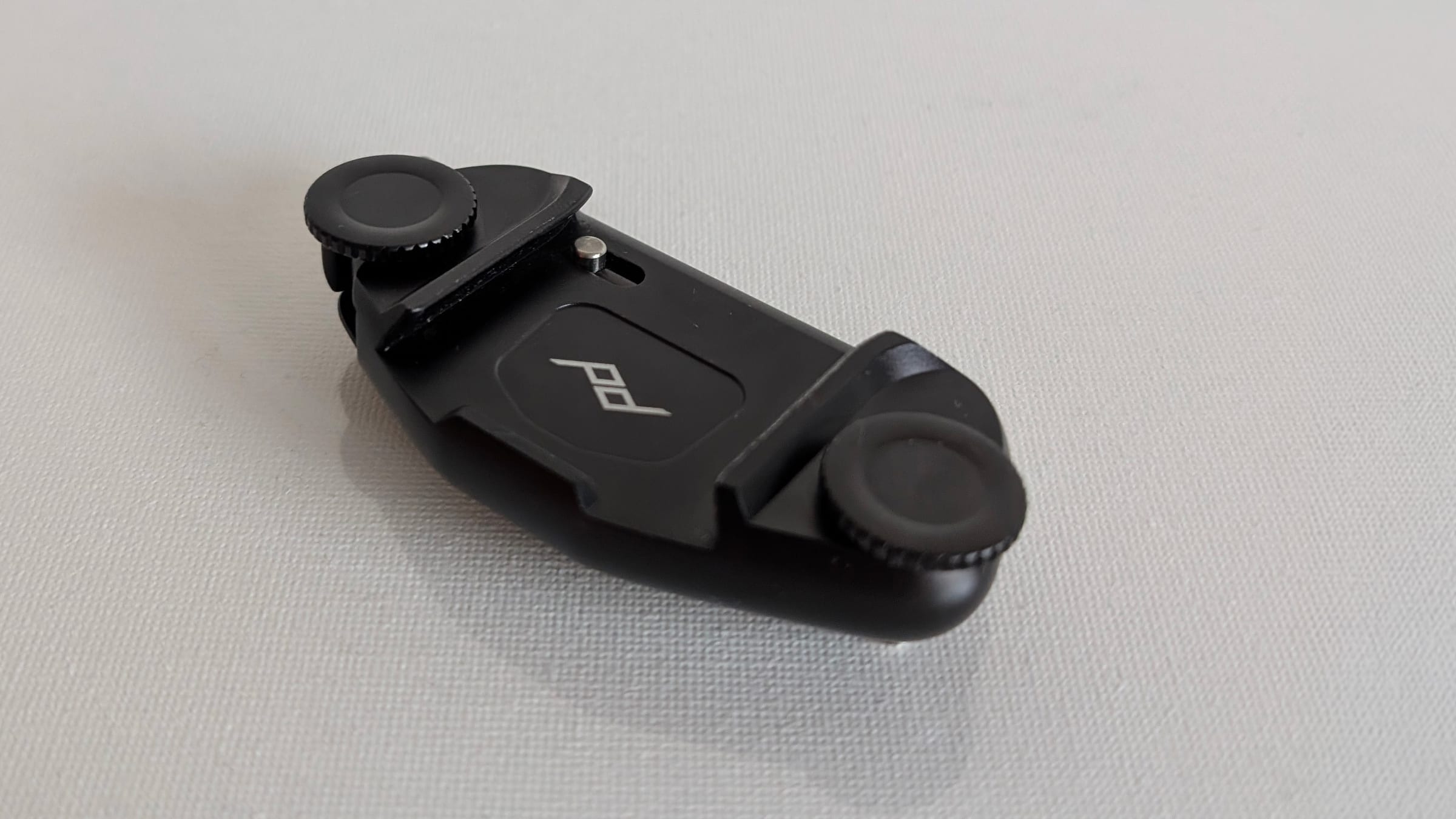
Peak Design Capture clip
Clipped to a pack strap, the a6700 hangs there all day and comes out in one motion when something is worth filming. Its Arca-type plate drops straight into the Creatorpod's head, so no plate swapping on the trail.
As an Amazon Associate we earn from qualifying purchases. It costs you nothing extra.